
Topography
I could see the new elementary school site near the city of Tobelo had a sight slope to it. Little did I know, it is way more detailed than that to have a site map. Jim, an engineer from Alaska, volunteered to complete a topographical survey of the six acre new Hohidiai school site. Remember this is tropical island with jungle. It has a beauty but is hot for Alaskan volunteers. The team worked with modern instruments–transits, tripods, GPS and levels.
The land will be the future site of the new elementary school. This school began as an option for the children in the care of Hohidiai. We have over 50 children ranging from new born twins to young teenagers. There are over 50 children in our care–each unique and each one loved. The school was started because of the educational need in the region. We wanted to provide a bi-lingual teaching program that was accredited. The school has been underway for three years. The improvement in each child is amazing to see. They have a future–they are thrown away children–unwanted or orphaned but they are wanted and loved by us. We want them to have a future and a part of them having a bright future is to have an education. All the work–teaching–purchasing land–all the homework–reading–math–site surveys boils down to giving the children a better life.
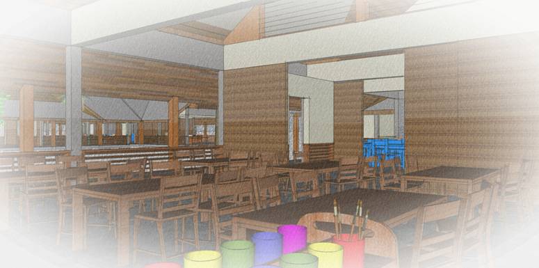
Jim and his team of Angki, Wawan, Opo and Lody understood the goal. They worked for days in the blazing sun and pouring tropical deluges just to get an accurate topographical site map to assist the architect who is completing the site design. This new school will include modern classrooms, library, computer rooms,
School Plans
a dining hall and administration offices. It will take some time but the site map is one step closer to the goal of a functional school educating the future of Indonesia.